
What's with the Weather?
Nov 16, 2022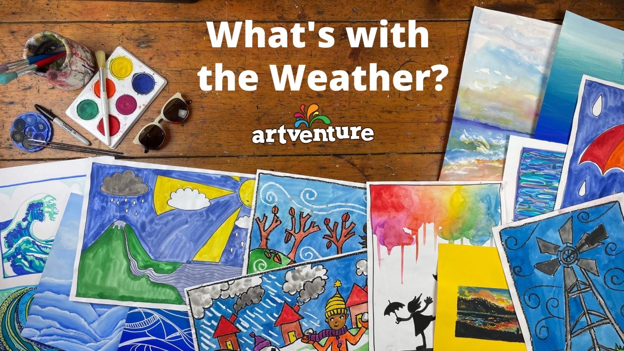
Floods. Droughts. And something called La Niña or is it El Niño? La Niña means Little Girl and El Niño, Little Boy (in Spanish). A couple of mischievous kids playing with our weather!
Just like pranksters, we don’t always know what they are getting up to but we do see the aftermath, the havoc they can wreak. These two are not active all the time but do keep reappearing. Their effect is typically felt for one cycle of seasons but may last for several years. Let’s see if we can get a better picture of this - and then create our own.
The Science
La Niña and El Niño are global climate drivers and together are known as the El Niño – Southern Oscillation (ENSO). This refers to the changing temperature of the Pacific Ocean and the atmosphere above it. The Trade Winds which blow from the east around the equatorial region (like a swirling belt) vary with ENSO, and so our day-to-day weather is affected.
In a neutral or normal situation (between El Niño and La Niña events), the Trade Winds coming across the ocean from the coast of South America naturally rise over the warmer waters of the western Pacific Ocean around Papua New Guinea and Indonesia - some of the warmest waters in the world. Here, warm, moist air is pushed up into the atmosphere and, if there is enough moisture, cumulonimbus clouds form resulting in rain. This drier air then travels back to South America in a never ending cycle.
This cycle can change with El Niño and La Niña events. With El Niño , the Trade Winds weaken and less moisture is brought to Australia and can cause droughts. With less clouds the daytime temperatures can be higher. On the other hand, La Niña brings stronger winds and increased moisture resulting in more clouds and rain, more intense monsoons and greater humidity particularly in northern and eastern Australia. With more clouds, daytimes can be cooler.
Here’s a video to help with Understanding ENSO - from The Australian Government: Bureau of Meteorology.
Visual Representations of Weather
With these shifts in climate, we see changes in our day-to-day weather. But what is it we actually SEE? What visible evidence is there of changes in our climate and, therefore, our weather? We may be directly impacted by major disasters such as a tropical cyclone, hurricanes, torrential rain and flooding, or drought. Or we may see vision of these events through television reports or social media posts. We watch weather reports to alert and prepare us.
How do we represent weather patterns? When we are teaching our children about temperature, rain, sunshine, wind and their effects on us and our world, what drawings or pictures do we use? How can we guide them to depict weather - for artworks, but also in diagrams for designs or reports?
As scientists and artists grapple with the natural phenomena that create our weather, we see paintings of wind whipping up waves, snowstorms, sun reflected on water, cloudy skies as the sunsets… Why do clouds look different? How can we capture what may just be a fleeting moment in time - the formation of raindrops and snowflakes? The results of extreme weather, however, last far longer with damage to both the natural and built environments. How do we respond to artworks that depict the ferocity of a storm? How common, or not, are artworks of resulting devastation? Why? Points for discussion with our children and students…
Both our libraries of lessons (Artventure for beginning artists and Art Eye Deer for more experienced artists) have examples of how weather can be portrayed.
Click here to apply for a school or company LOGIN.
From these libraries, we can find lessons relating to our more normal patterns of weather with some suggestions and depictions of these stronger variations. Using their imagination along with an increased understanding of the more intense weather events caused by, say, La Niña we can encourage our children and students to create artworks beyond the everyday representations. From wind to cyclones. From white fluffy clouds to stormy skies. From gentle ripples to massive waves.
Junior Art Activities…
Science meets Visual Arts - examples showing a little of the water cycle with moist air rising, cloud formation and rain. Learn how to draw:
Drawing wind may look like wavy, curly lines or may be shown through its effect on branches on trees, kites in the air, our hair and scarves blown to the side. Clouds can make a difference to the feel of an artwork - colour, density, shape and quantity. Temperature variations can be reflected in the clothing worn by people in pictures and the size and intensity of the sun - the lighting used.
These weather drawing and painting lessons can be starting points:
- Seasons - Spring, Summer, Winter, Autumn
- Wind - Windmill, Birds, Kite
- Clouds - Beach Landscape
- Rain - Umbrella, Rainbow Umbrella, Rainbow Mountain, Flood
- Snow - Snowflake, Penguin in Snow
- Ocean Wave
Click here if you’d like to give ARTVENTURE as a GIFT.
CONNECTIONS TO THE CURRICULUM
The scientific discussions you can engage in with your children are many. These are some examples of links to the Australian Curriculum: Science - Earth and Space Sciences.
Foundation Year
- Daily and seasonal changes in our environment affect everyday life
- linking the changes in the daily weather to the way we modify our behaviour and dress for different conditions
Year 1
- Observable changes occur in the sky and landscape
- recording short and longer term patterns of events that occur on Earth and in the sky, such as the appearance of the moon and stars at night, the weather and the seasons
Year 4
- Earth’s surface changes over time as a result of natural processes
- considering the effect of events such as floods and extreme weather on the landscape
Year 6
- Sudden geological changes and extreme weather events can affect Earth’s surface
- considering the effect of drought on living and non-living aspects of the environment
Art Eye Deer library of lessons
These lessons are great for any age to see how artists can show weather conditions. How are these elements portrayed: sunshine, warmth, wind, stormy skies…? You might like just to look at these artworks, or try following the lesson but maybe intensify the weather conditions!
- Pastel clouds, Winter dusk in the city, Gently fades the sunset, From memory, across the bay, Incoming storm, Abstract cloudy sky drawings
- Shimmering water, Sun dappled waterscape, Light on water, Deep blue seas, Two great waves
Recap
In Australia, we’ve gone from droughts, to bushfires to floods. Similar extreme weather events are occurring around the globe. As always, using visual representations can help us make sense of our natural world. Whether through drawing, sketching, creating diagrams or painting artworks, we’re able to engage our children and students in building a better understanding of what’s with the weather!
Erica
Teacher and Artventure Blogger
Click HERE to sign up for lessons or try ARTVENTURE for FREE
